Lead Forecaster Daniel Crawley
Good Wednesday morning to everyone, we hope are you are prepared for the hottest day of the week coming up today.
Large sprawling high pressure continues to assert itself from the Southern Plains into the Southeast.

This high should continue to provide northwest flow at the surface and aloft through Thursday keeping us dry.

Once we get to Friday some changes aloft will shift the pattern slightly. The flow at 850 mb will begin to take an easterly and southeasterly component.
The first thing that will do is advect some Atlantic moisture into the Western Carolinas raising moisture levels in the atmosphere going into the weekend.
The easterly winds bumping up against the higher terrain will also yield an increase in afternoon shower and thunderstorm coverage across the region, with the foothills being the focus.


Storm coverage will be isolated to widely scattered going into the weekend and then a front early next week will approach increasing storm chances.
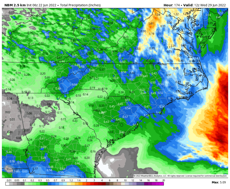
Rainfall amounts the next 7-days won’t be terribly heavy.