
Lead Forecaster Daniel Crawley
Good Sunday evening to everyone, hope you’ve had a great weekend.
Cold High pressure is settling in and will bring us some chilly weather especially tonight and on Monday. After Monday we will begin to see a few changes especially aloft that would normally suggest a pretty quick warming trend for the middle of the week. However there may be some things going on at the lower levels of the atmosphere that could prevent us from surging us back to values that are above normal for mid-February.
Monday and Tuesday will feature temperatures during the afternoons in the upper 40s and lower 50s with morning temperatures quite cold in the 20s.
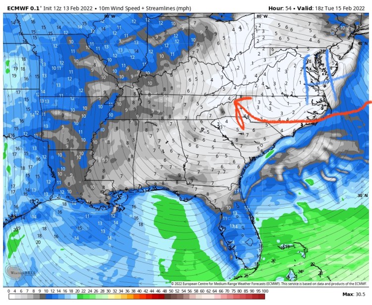
As we get to later Tuesday high pressure will begin to slide off the Atlantic coastline, however surface winds will be from an easterly direction. Any time of the year that is a recipe for cooler and variably cloudy conditions but in the heart of winter with leftover cold air in place, this screams a “hybrid damming” setup. Tuesday and Wednesday temperatures really have a high bust potential right now. Will have to closely keep an eye on that and adjust our forecast accordingly.

Once we get to late Wednesday, the wind profile throughout the atmosphere should be more of a southeast direction and that will push milder air into the region. It will also begin to push moisture in from the Gulf and Atlantic ahead of the next storm system ejecting from the Southern Plains.
This next storm system is expected to arrive on Thursday and could bring a soaking rainfall to all of the Western Carolinas.
