Chief Meteorologist Chris White
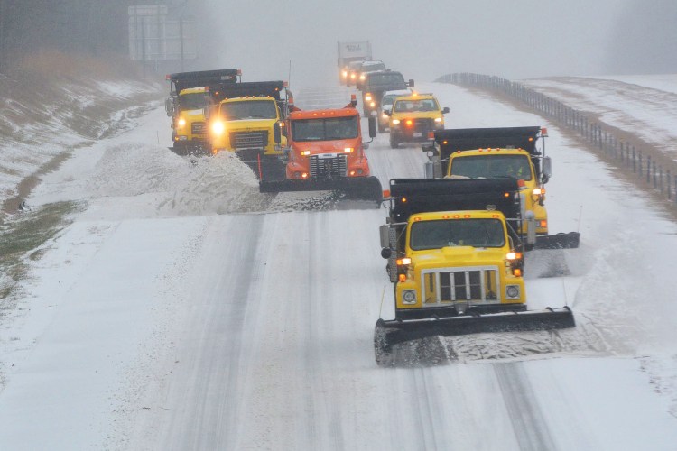
Are your winter weather plans updated? Do you have a plan should winds or precipitation cause power outages? Do you have an alternate source of heat? Now may be the time to make those plans. A winter weather event is looking more and more likely for the late weekend. If you have outdoor plans or travel plans you should monitor forecast changes going forward. All signs are pointing at an impactful winter storm across the foothills and mountains. Not just there though. With cold air advection coming in behind a quickly moving cold front Friday, the stage could be set for winter precipitation types all the way down into parts of South Carolina and Georgia.
This is a very interesting weather pattern. As Lead Forecaster Daniel Crawley alluded in yesterday’s blog the southern jet will become active and link up with energy from the northern jet stream. As the two pieces of energy phase together somewhere over the southeast Saturday Night into Sunday, it should set the stage for precipitation development over the forecast area. It is still too early to nail down an exact timing as we expect models to shift back and forth over the next several runs. This is trending toward a late weekend event though.

The graphic above shows the upper level energy that is going to dive south, through the plains, and into the east coast trough. As the low deepens and strengthens it will tilt the mean trough over the east coast to a negative tilt. That negative tilt will allow for cold air advection into the region. That cold air advection could sustain itself or even strengthen a little during the day Sunday. Ahead of this amplified short wave, forcing will increase sometime in the late weekend. With cold air deeplifying across the Western Carolina’s, the the precipitation types likely would be wintery. Models vary greatly as to how much moisture will be available which is reasonable for this juncture in the forecast period. The potential does exist for this to be a major winter storm in our area. Totals will be dependent on exact track and the amount of moisture available. It is becoming clearer that we will have the cold air in place for a winter type scenario but things could still change.

I would love some snow!!!!
We would too!
Is this even possible? Weather Channel.
Sat 15 | Day
Cloudy. A few flurries or snow showers possible. High 42F. Winds light and variable.
Sat 15 | Night
23°
Cloudy with rain and snow in the evening, becoming all snow late. Low 23F. Winds ENE at 10 to 15 mph. Chance of snow 90%. Snow accumulating 3 to 5 inches.
Sun 16 Day
30°
Cloudy with snow. Some sleet or freezing rain possible. High around 30F. Winds NE at 10 to 15 mph. Chance of snow 100%. Snow accumulating 8 to 12 inches.
Sun 16 | Night
24°
Snow in the evening will give way to mostly cloudy conditions overnight. Low 24F. Winds NW at 10 to 15 mph. Chance of snow 90%. Snow accumulating 1 to 3 inches.
Hey Gary. I can’t speak to other folks forecasts and their thinking. We have our new free weather app available in the app store and it is tailored to our many communities but will work anywhere in the world. We build the forecasts in there twice a day. As precipitation starts to fall Saturday Night into the dry cold air at the surface the temperatures will plummet. So we expect all snow at the onset. We may mix with sleet and freezing rain because of a warm nose of air around 3000 ft with temps around 33-34°. Meanwhile at the surface we should be between 19 and 24 degrees Sunday.
Thanks for these great posts; you provide a very good service!
Thank you for following Dave.